
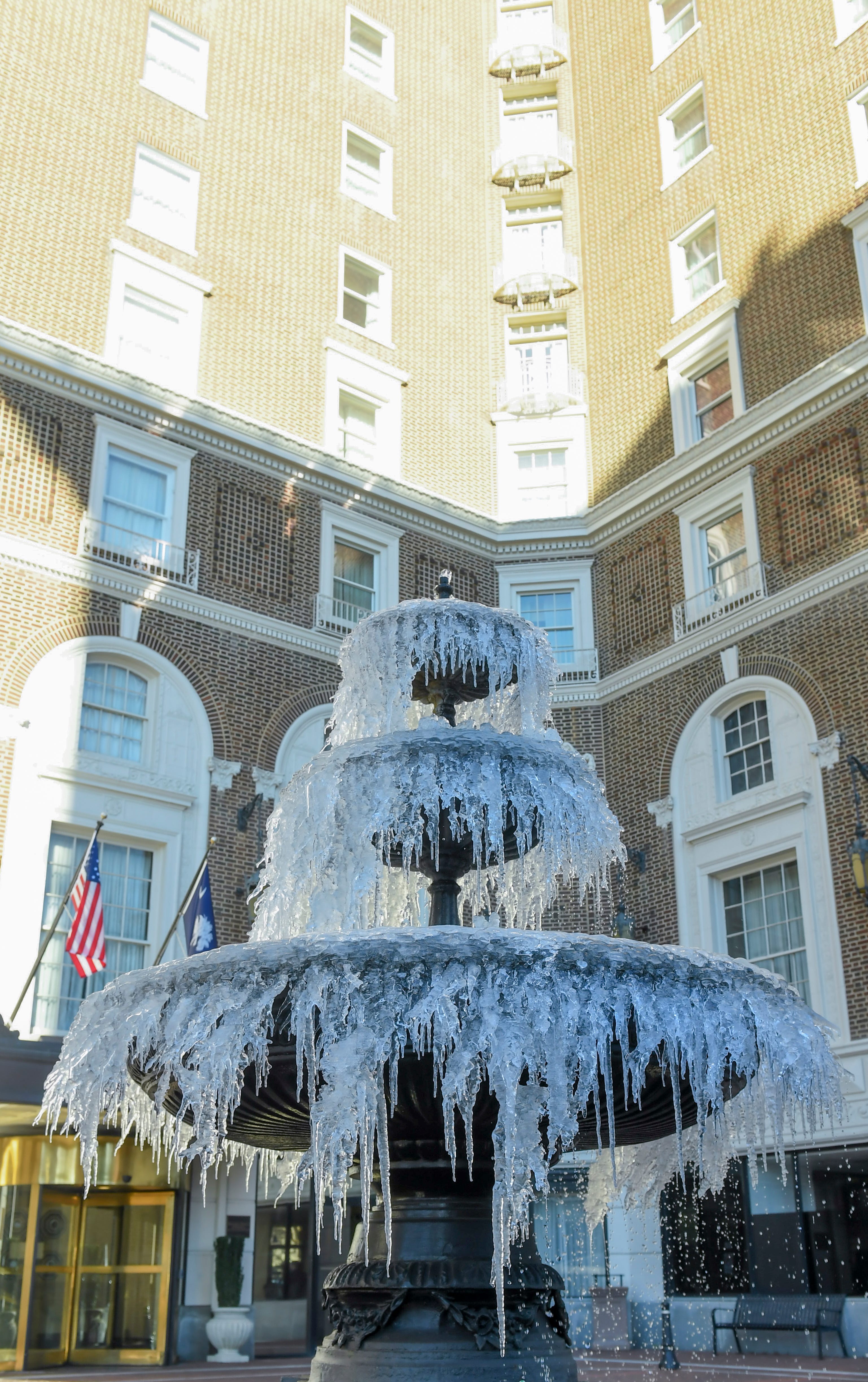
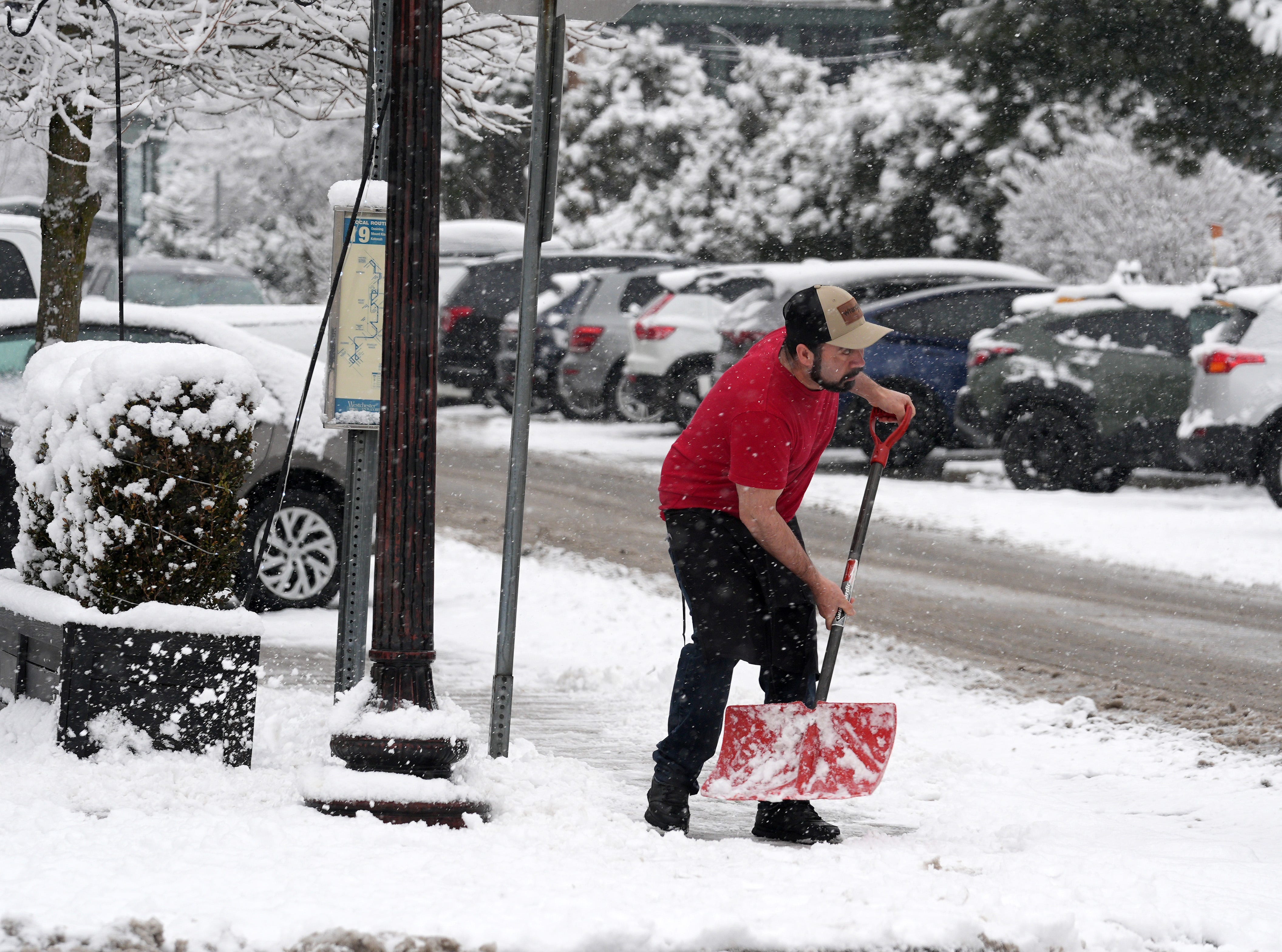
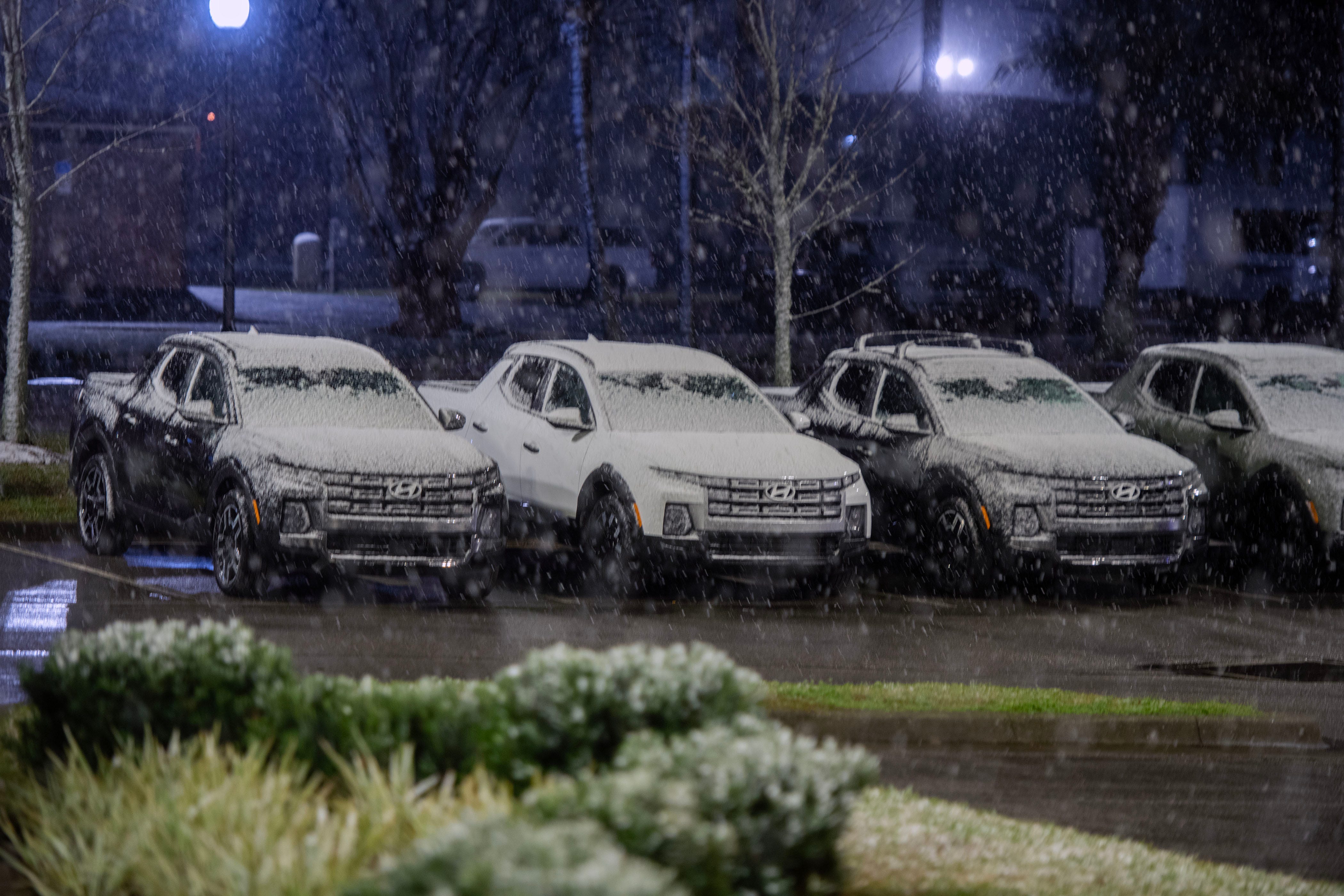
As forecasters warn of asprawling snow and ice stormin store for a large swath of the country later this week, millions of Americans were under advisories and warnings on Jan. 21 for frigid weather and dangerous snow conditions.
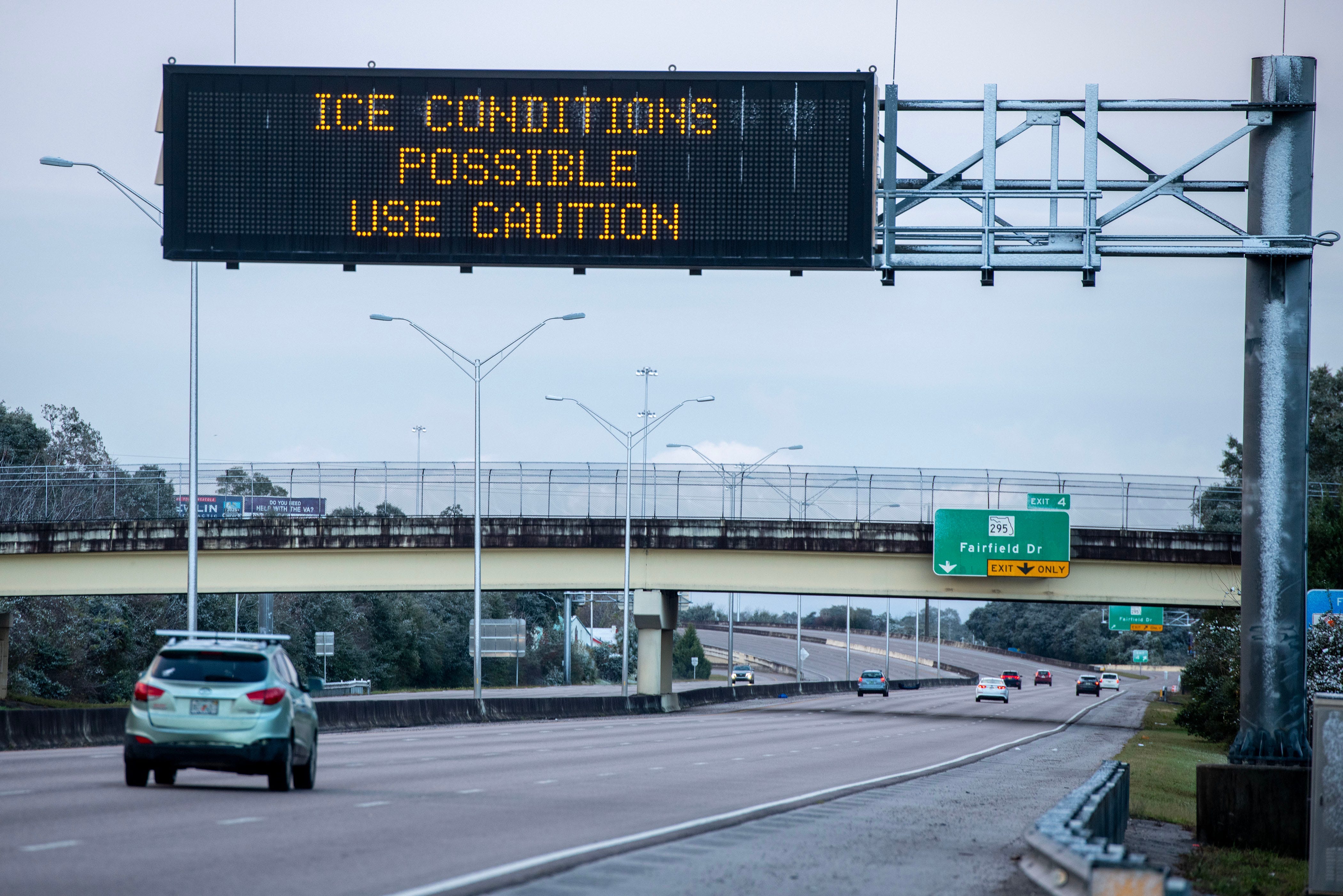
The storm will follow a mass of cold air that will send temperatures plunging and spread heavy snow and icy conditions across more than two dozen states, from Texas up through the Northeast, AccuWeather meteorologists said. Its exact path isn't certain, but it is expected to dump several inches of snow across the Plains region and ice in Texas and the Carolinas, the outlet reported.
The storm could cause thousands of flight disruptions, close major roads and shutter schools, AccuWeather predicted.
"This is shaping up to be the most impactful storm of the winter so far," AccuWeather Chief Meteorologist Jonathan Porter said. "The risk of ice, snow and frigid temperatures is a dangerous combination."


See a brutal cold blast blanket the Eastern US
Ahead of the winter storm, a pair of low-pressure systems is expected to sweep through the Great Lakes region over the next couple of days, churning uplake effect snowthat could total up to 2 feet in some areas through the end of the work week, the National Weather Service said.
On Jan. 21, more than 29 million people were under winter storm watches in states including Texas, New Mexico, Arkansas, Alabama and Tennessee. Millions more in the Great Lakes region were under winter weather advisories and extreme cold watches, according to the weather service.
More:How old is too old to be shoveling snow?
Arctic blast to send temperatures plunging
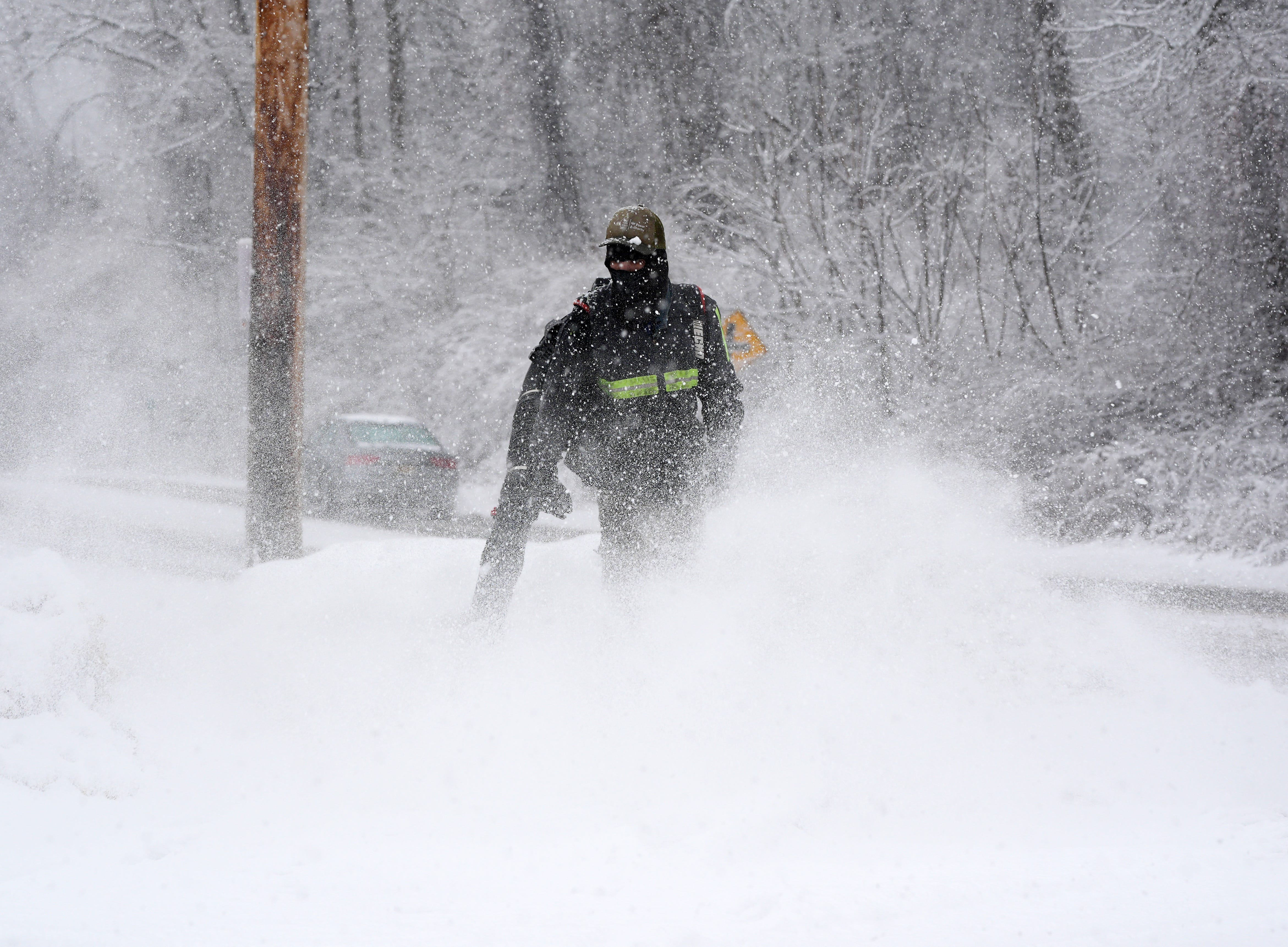
The eastern two-thirds of the United States will face the wrath of an Arctic blast, sending temperatures down into the single digits and below zero in some areas, according to the weather service.
An Arctic cold front will expand from the Northern Plains region on Jan. 22 to the Mid-Mississippi Valley, the Ohio Valley and the Northeast through the weekend. Gusty winds will make already frigid temperatures even more dangerous.
The Northern Plains region could see wind chill temperatures of minus 50 degrees this week, the coldest in the country. In Chicago, the high temperatures could struggle to get above zero, AccuWeather reported.
Wind chill, also called apparent temperature, is a "feels like" measurement designed to help people understand the dangers of exposure to cold temperatures. It combines the actual air temperature with wind speeds.
For those in the upper Midwest, this weekend may feel reminiscent of the Arctic blast on Jan. 29 and 30, 2019.
At least18 people died as a result of that cold blast,USA TODAY reported. Snow, winds and cold temperatures in the region dropped wind chills as low as minus 50 across Minnesota, Iowa, Wisconsin and northern Illinois, according toa summary from the Midwestern Regional Climate Centerat Purdue University. It was among a series ofviolent weather events worldwide in January 2019.
"These wind chills will pose a life-threatening risk ofhypothermiaand frostbite to exposed skin," the Weather Prediction Center said of this week's weather.
Lows in the teens could reach as far south as the Gulf Coast early next week, the weather service said.
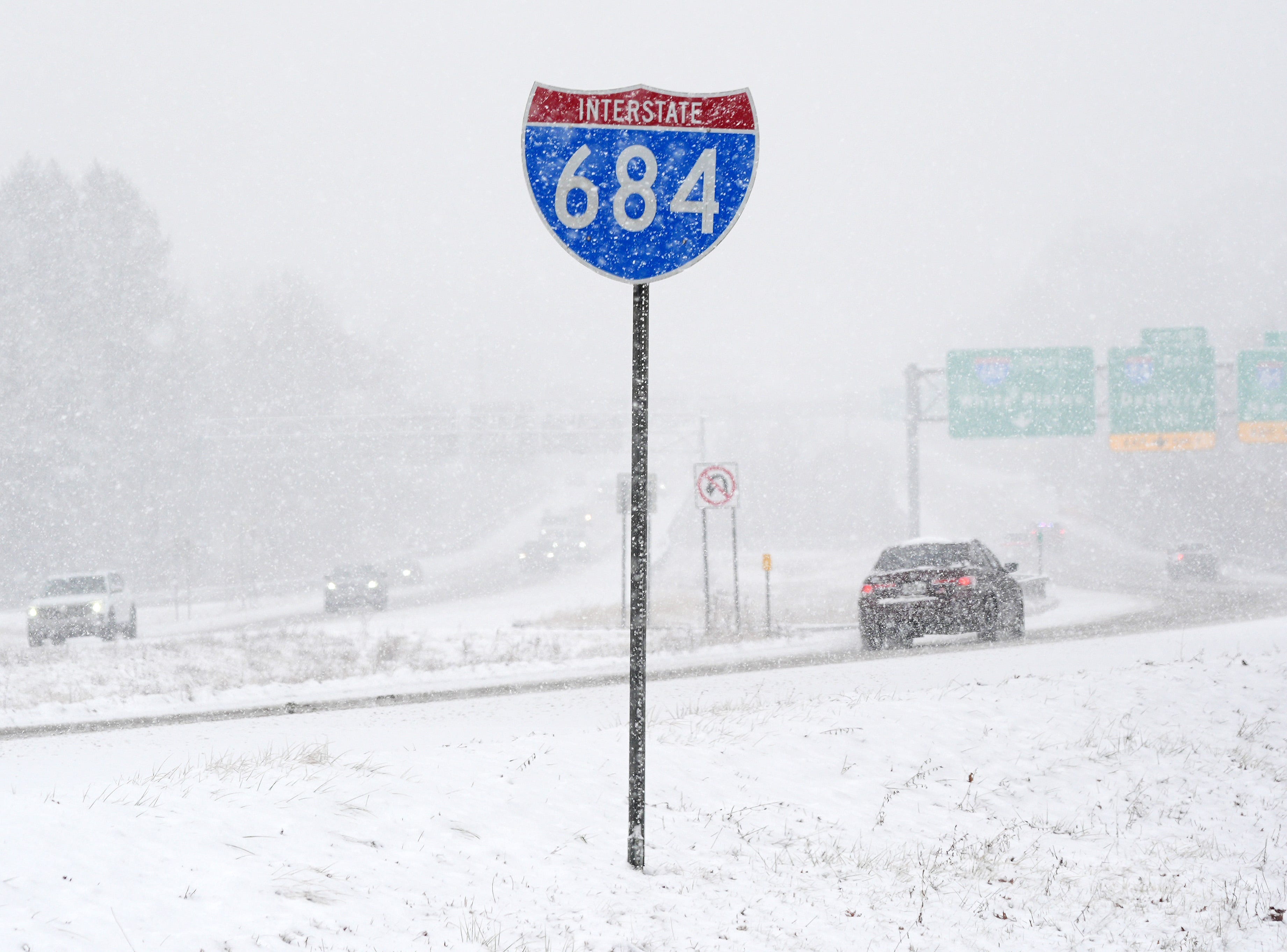
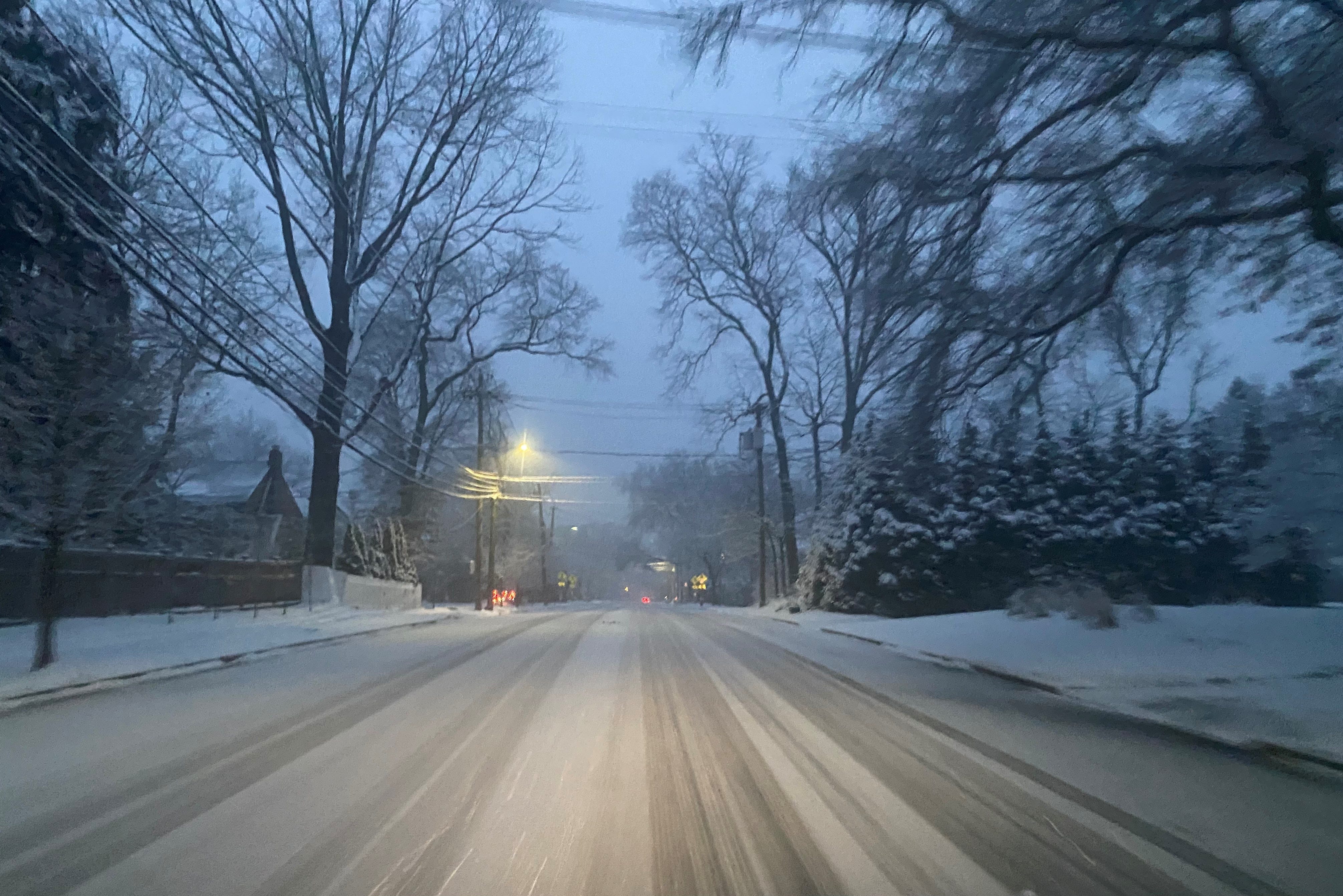
Snow, ice will stretch from the South to the Northeast
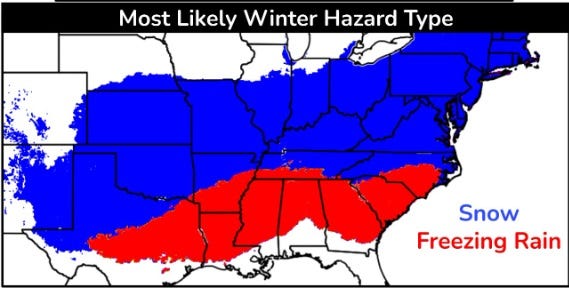
The "extremely cold air mass" spreading frigid temperatures across much of the country will cause a major winter storm that starts Jan. 23 and lasts through the weekend, stretching from Texas up through the Carolinas and into the Northeast, forecasters said.
The storm will begin with a mix of snow, sleet and freezing rain in the Southern Rockies and Plains region through the mid-South on Jan. 23 before spreading toward the East Coast over the weekend. The northern half of the storm, which includes portions of Texas and the Carolinas, will bring heavy snow, while the southern half will see freezing rain across much of the Deep South.
Get prepared:What should you do if you lose power during an ice storm?
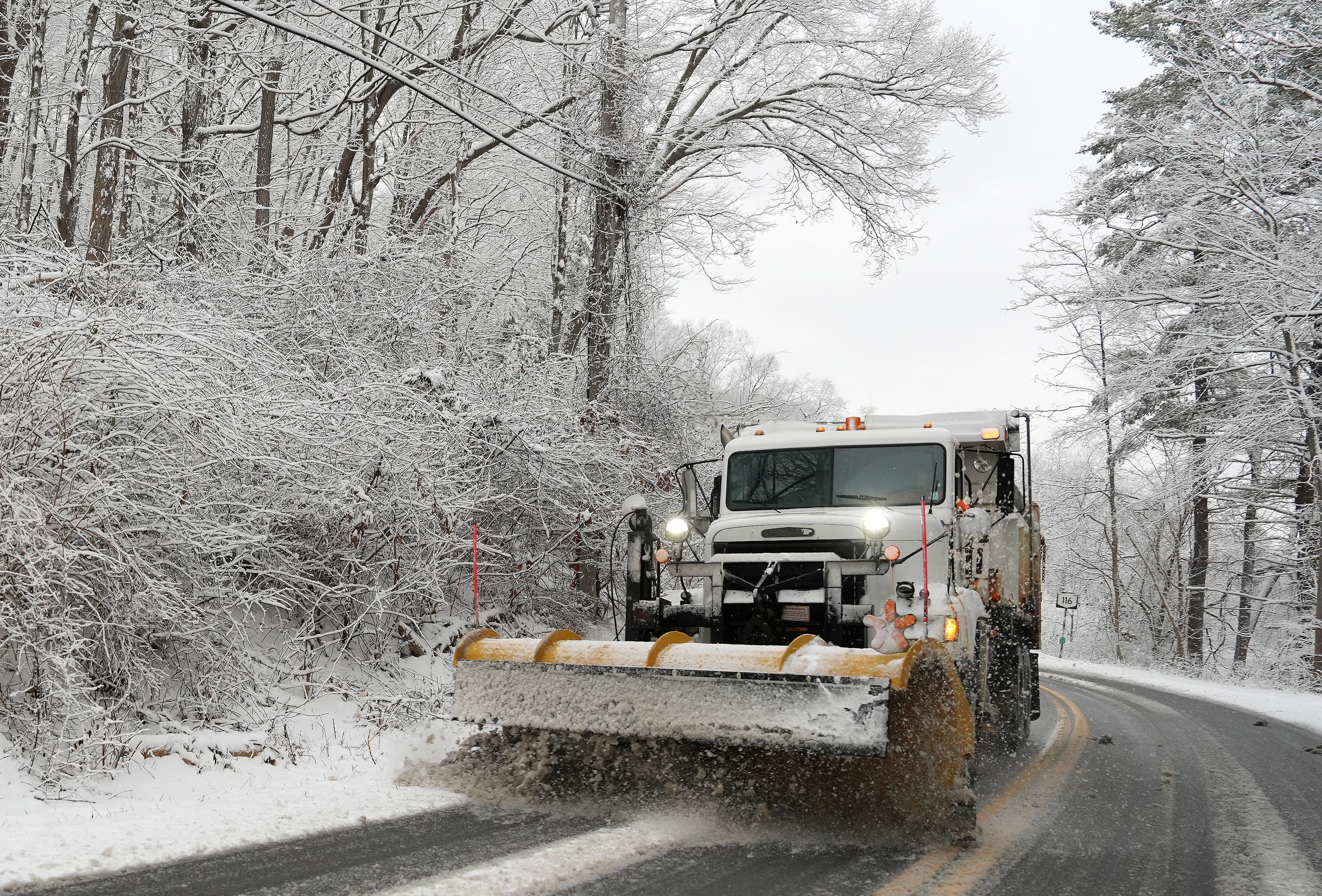
The storm's exact path and timing are still unclear, so snowfall totals could have some variability, forecasters said, but snow that falls won't quickly melt due to low temperatures. Between 6 and 12 inches of snow is possible across the heart of the Plains region, with 2 feet in parts of the Appalachians, AccuWeather reported.
The weather service in Nashville said there are chances for up to a foot of snow north of Interstate 40, while up to half an inch of ice is possible south of the interstate.
See snowfall totals nationwide
Stay up-to-date on how much snow falls by checking USA TODAY's snowfall tracker:
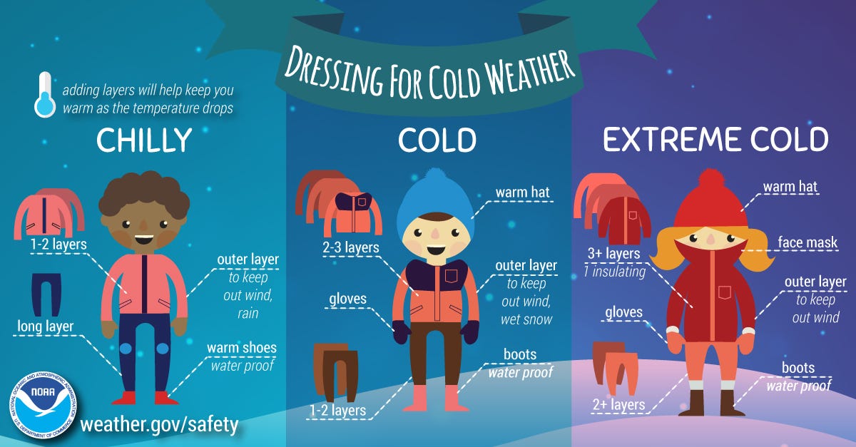
Follow these tips to stay safe in the cold
Chances of frostbite and hypothermia will rise sharply by the weekend.
If you have to be outdoors, wear multiple layers, hats, boots and gloves.
Stay dry and keep hot beverages handy.
Check on neighbors.
Know the signs of hypothermia and how to protect against being stranded in the cold.
What's the coldest wind chill on record in the U.S.?
The coldest wind chill on record in the United States is believed to be the minus 108 degrees on thesummit of New Hampshire's Mount Washingtonon Feb. 3, 2023.
That was the lowest wind chill ever recorded in the United States since meteorologists began calculating wind chills, according to Brian Brettschneider, an Alaska-based climate scientist. But reconstructing historic records shows the wind chill might have been that low on Mount Washington on Jan. 22, 1885, when the record low temperature was set at minus 50.
What's the record low temperature in the U.S.?
Data from National Oceanic and Atmospheric Administrationshows the record low for the 50 states was set, not surprisingly, in Alaska.
The record – minus 80 degrees – was set on Jan. 23, 1971. But other states have also seen some incredibly cold record lows.
These three states have the record coldest low temperatures:
Minus 70, Rogers Pass, Montana, on Jan. 20, 1954
Minus 66, Riverside Ranger Station, Yellowstone National Park, Wyoming, on Feb. 9, 1933
Minus 61, Maybell, Colorado, on Feb. 1, 1985
Three states are tied for the fourth coldest record at minus 60 degrees:
Island Park Dam, Idaho, on Jan. 18, 1943
Tower, Minnesota, on Feb. 2, 1996
Parshall, North Dakota, on Feb. 15, 1936
Rounding out the top 10 coldest records in the nation are:
Minus 58, McIntosh, South Dakota, on Feb. 17, 1936
Minus 55, Couderay, Wisconsin, on Feb. 2 and Feb. 4, 1996
Minus 54, Seneca, Oregon, on Feb. 10, 1933, and Ukiah, Oregon, on Feb. 9, 1933
Of the 50 states, only Hawaii doesn't have a sub-zero temperature record. Its record low is 12. Puerto Rico's record low is 40.
This article originally appeared on USA TODAY:Snow storm forecast for this weekend warns of 'dangerous' conditions
Post a Comment